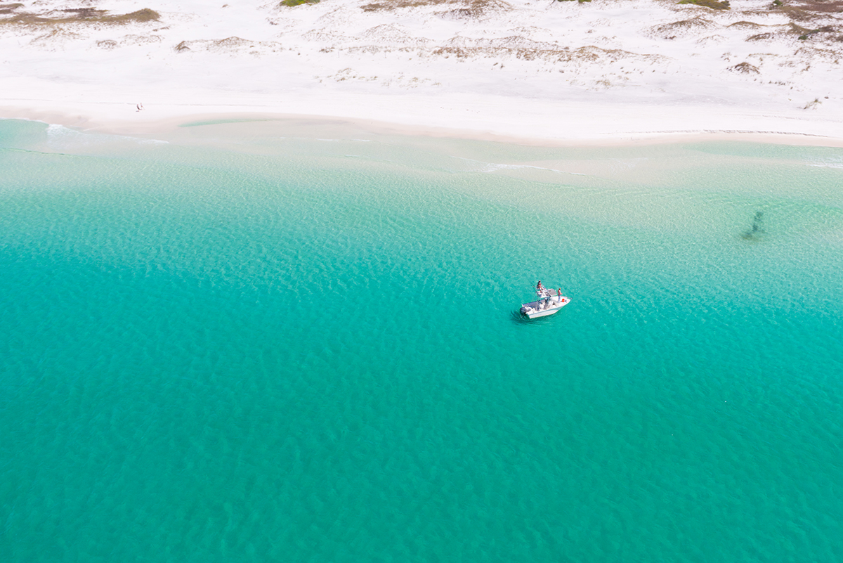
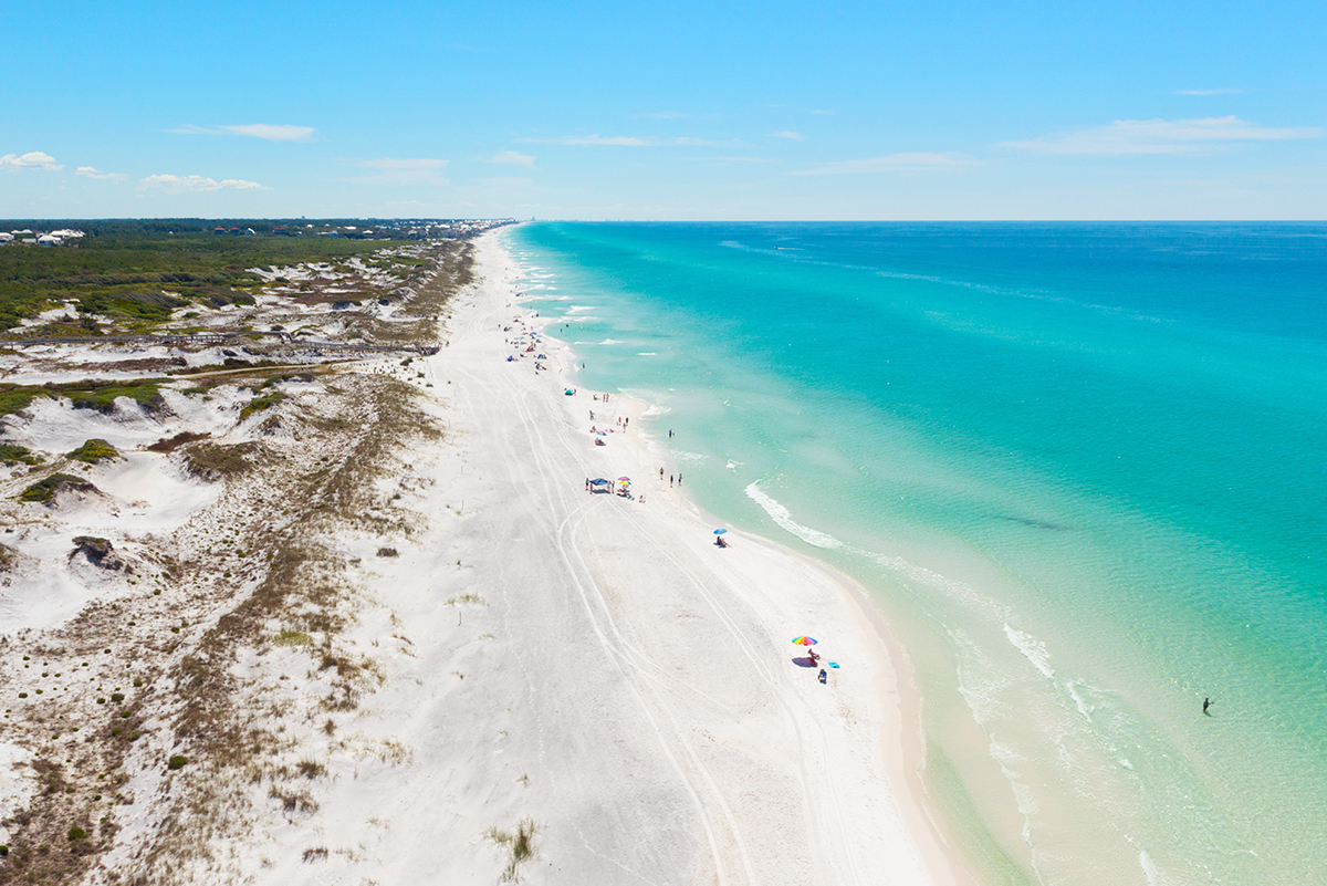
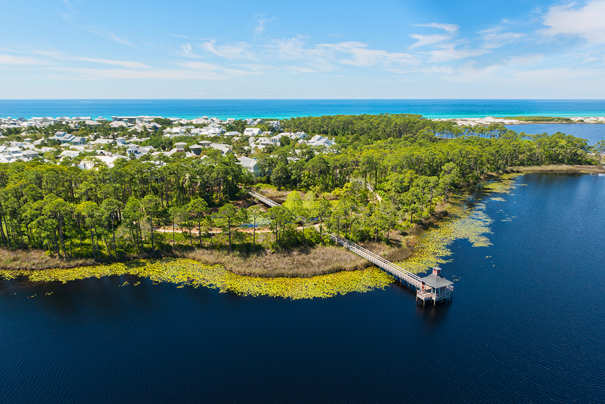
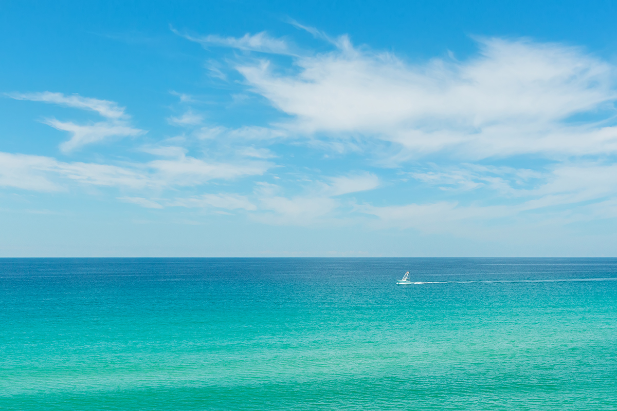
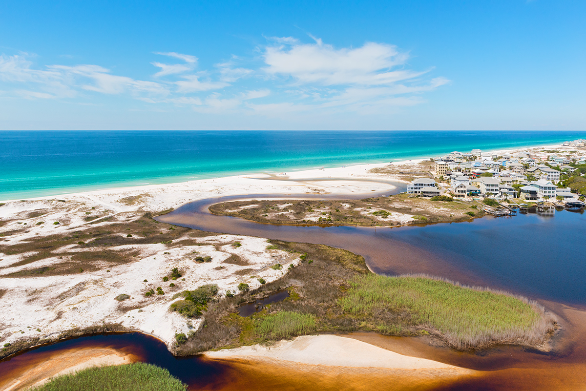
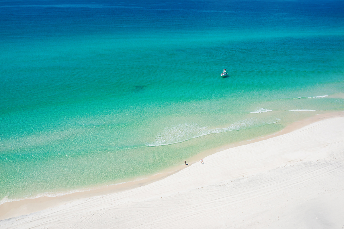
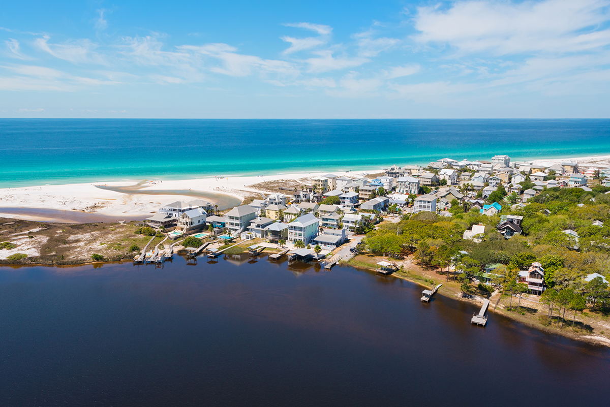
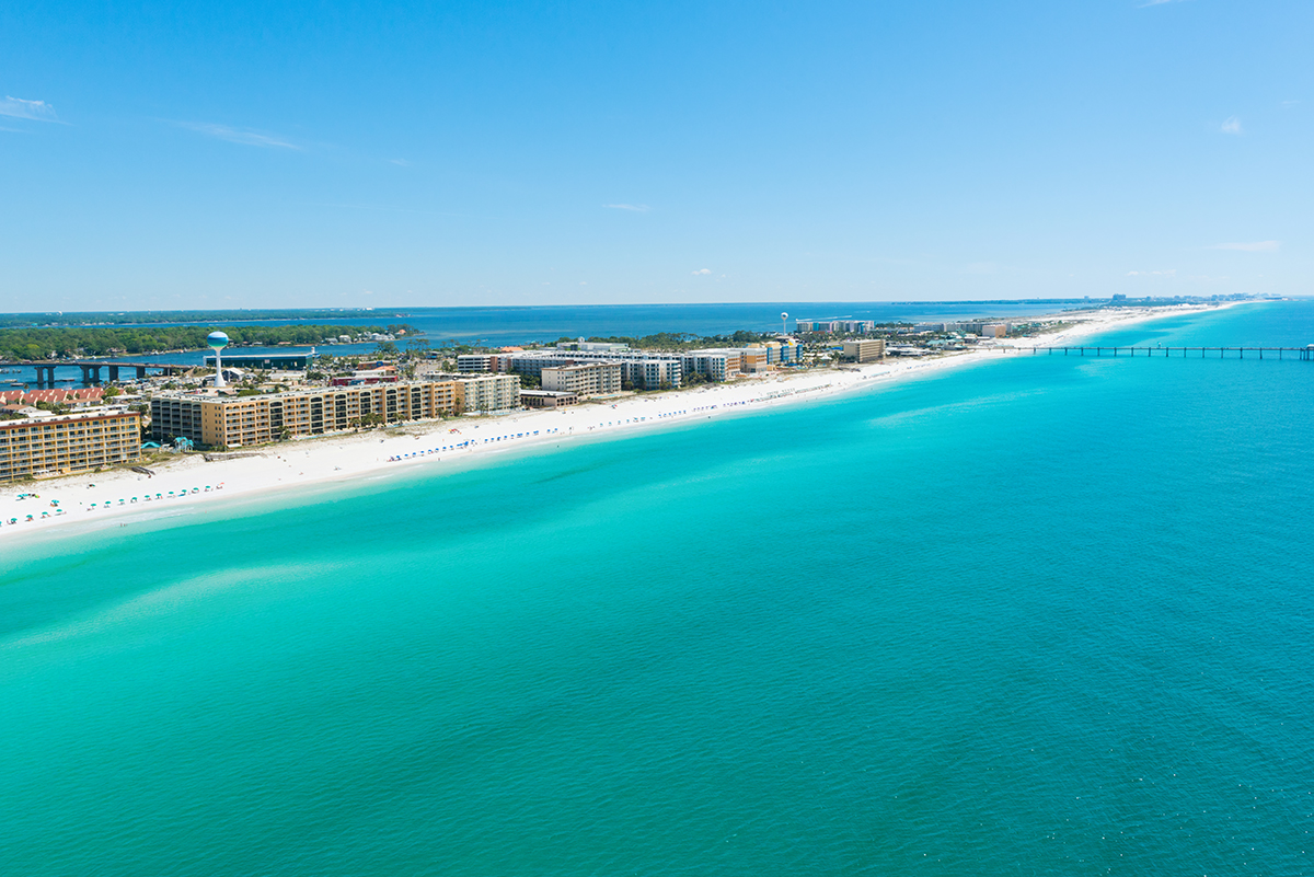
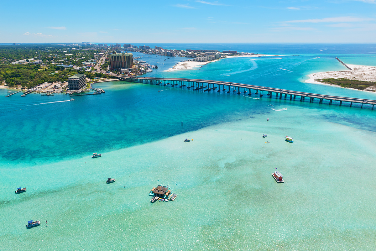
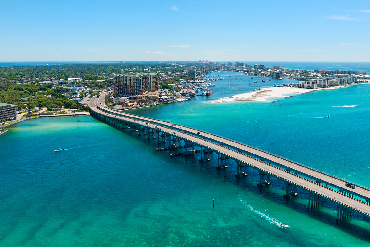
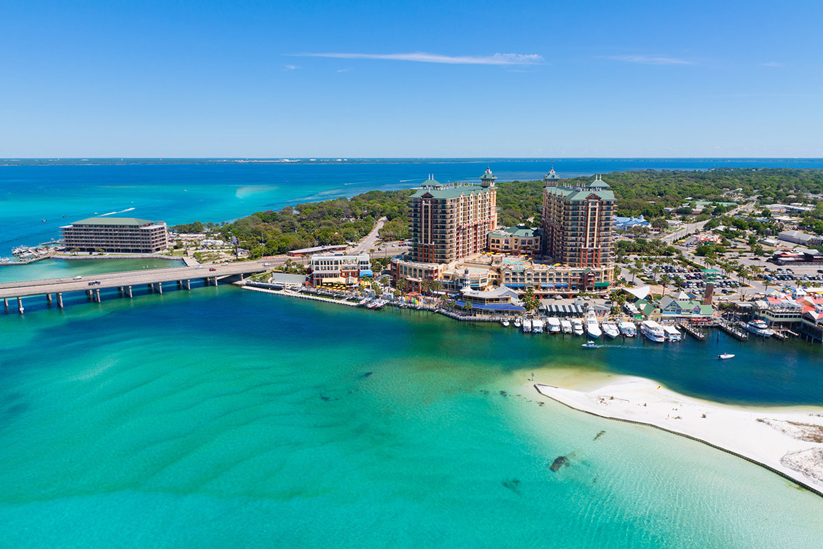
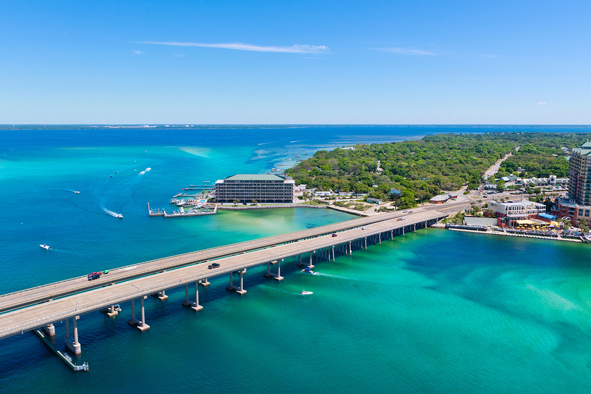
I recently had the opportunity to get a bird's eye view (via helicopter) of Florida's Emerald Coast, the beautiful stretch of coastline from Panama City to Pensacola. Many people don't know about this well-kept secret, but the waters from this area can rival those of the Caribbean.
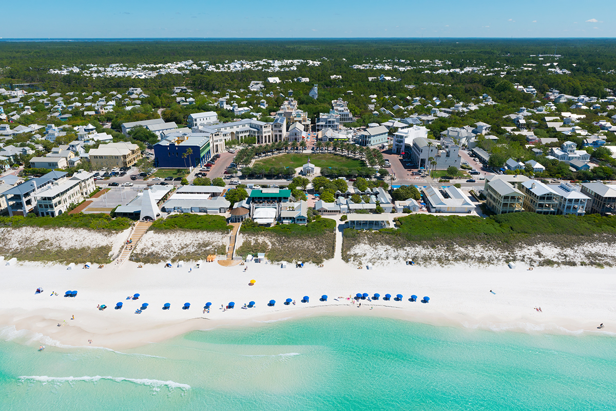
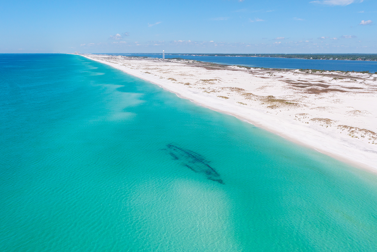
Our helicopter took off at Destin Executive Airport and headed east towards Panama City. We followed the coast over Miramar Beach and the famous Highway 30-A before turning around at Seaside. We then cruised the beaches back to Destin and went westbound past the Okaloosa Island Pier before circling around a sunken ship just west of Ft. Walton.
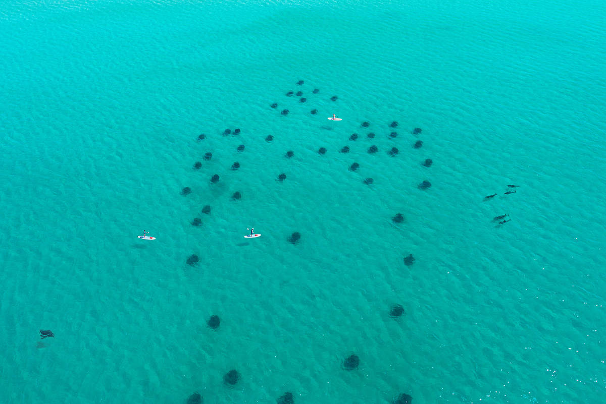
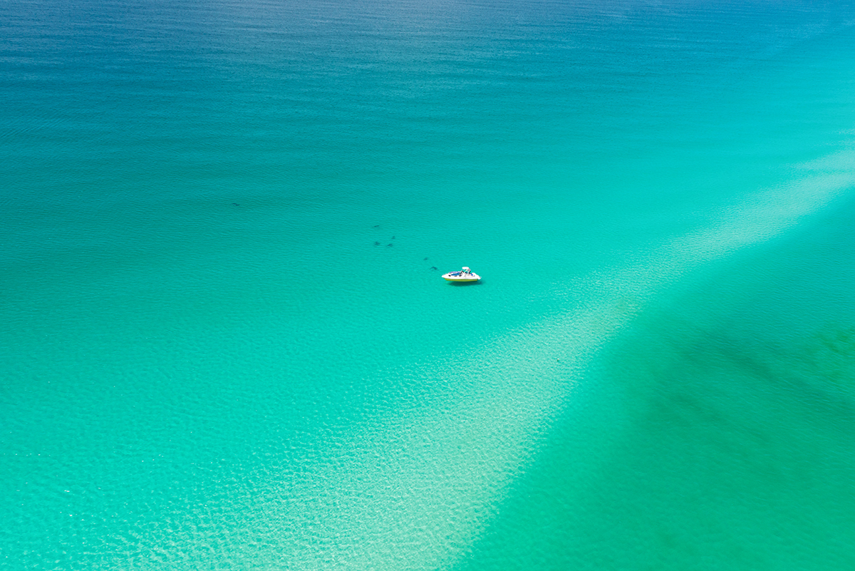
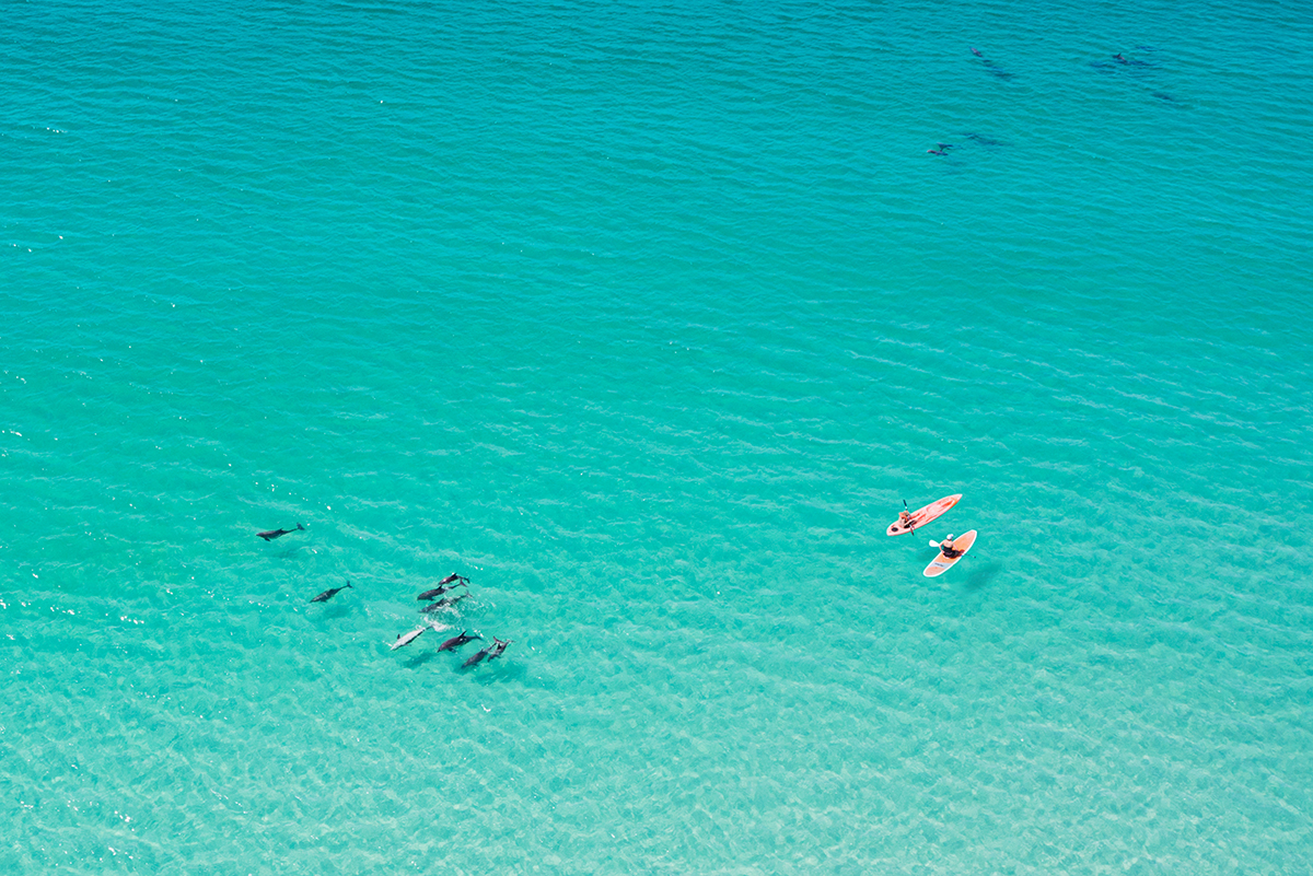
We couldn't have asked for a more perfect day. The water was as calm as a lake with amazing electric blue colors. It was so clear that we could see hundreds of dolphins, sharks, manta rays, and massive schools of fish swimming up and down the beach. The whole trip took about 45 minutes, but it felt like 15.
Anyhow, below are just some of the (876?!) photos I shot during the trip. Enjoy!
(Blogs that wish to use these images, please reach out to david@davidkosmos.com)